Comhairle nan Eilean Siar
Key Statistics
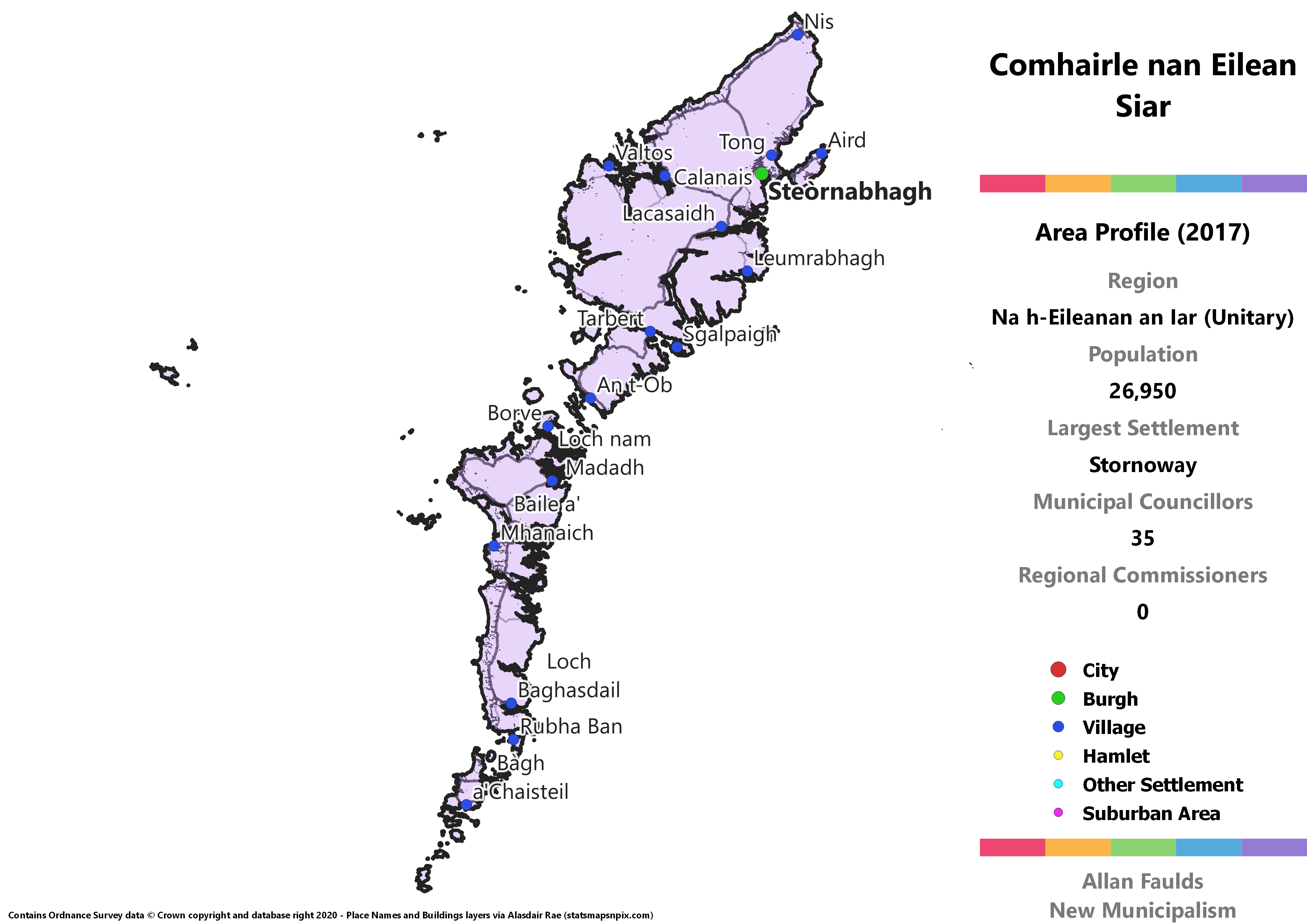
Municipalities: 1 (Unitary)
Population: 26,950
Largest Settlement: Stornoway
Municipal Councillors: 35
Municipality Description
Comhairle nan Eilean Siar is the Gaelic rendering of “Western Isles Council”, as befits the main remaining Gaelic-speaking part of the country. Like the Northern Isles, the Western Isles have been a single Unitary Authority since the 1973 Act. Unlike them, it didn’t previously form its own county. Lewis in the north which contains the largest town and former Burgh, Stornoway, was part of the Ross and Cromarty county, with the rest of the island chain in Inverness-shire. That obviously made very little sense from a local government point of view, just as it wouldn’t make much sense to attempt to re-integrate the islands with a region on the mainland.
The Western Isles are very marginally less concentrated on the largest island than the other island chains, with around 75% of the population found on Lewis and Harris. That still means a pretty small population on the Uists and other islands, so any suggestion that there should be Districts under a wider Western Isles Region might fall at that hurdle. A more informal decentralisation programme on behalf of the Comhairle may be the solution there, rather than Districts defined in legislation.
As all the island councils do, the Western Isles mostly votes for Independent councillors, which doesn’t really work too well with the list system I have going for this project. However, it’s also the Islands council with the most representation of national parties on it, with a sizeable SNP group and a couple of Conservatives. In actual elections, Labour formerly had a group on the council, but for whatever reason no candidates stood under a Labour banner in 2017, with their two councillors failing to be re-elected as Independents.